|
"Fit for Life - Explore Science" on October 28th 2009 |
|
University of Münster
|
 "Quo vadis? - geoinformatics shows the way" - computer-based navigation
|
|
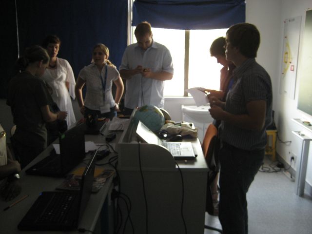
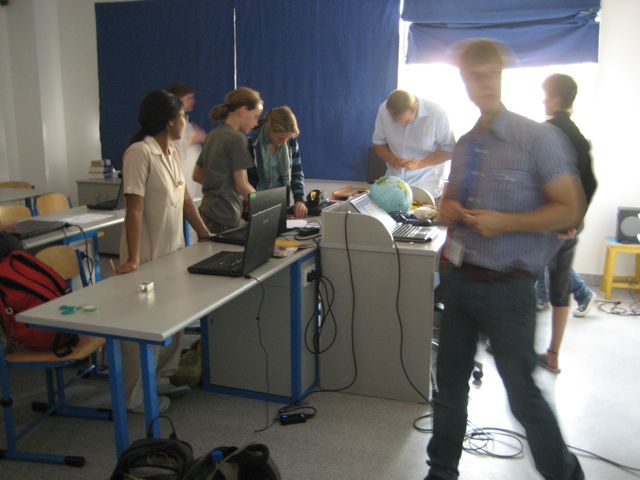
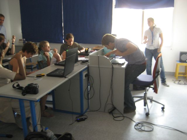
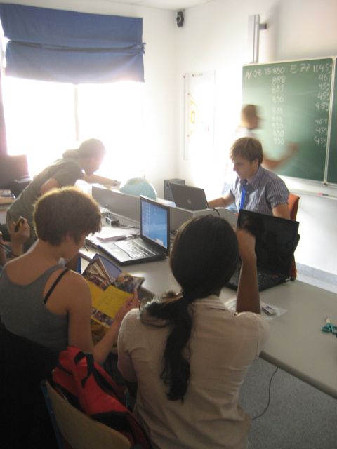
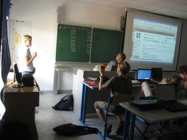
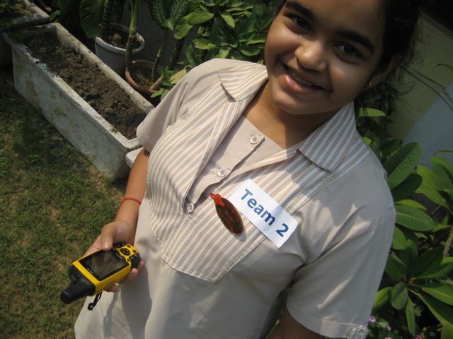
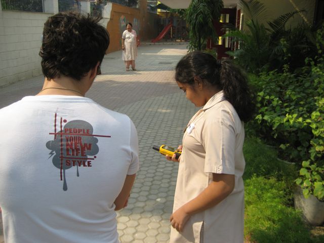
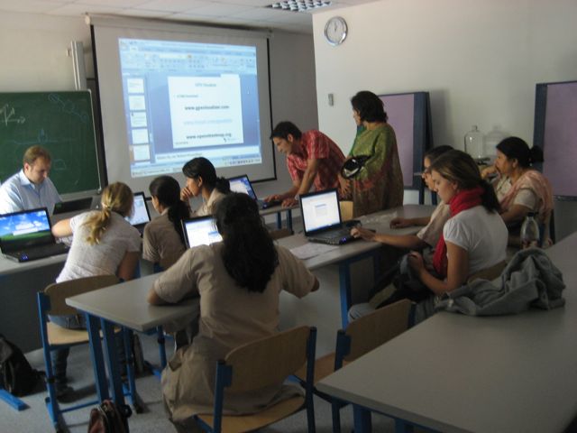
Thanks to geoinformatics it is possible to work out the best route
on the Internet before travelling or to take a look at distant
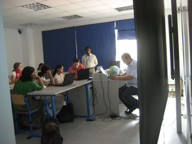
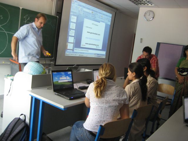
regions on the globe. The project "Explore geoinformatics with hands, feet and minds" gave an insight
into the subject. It examined ways in which interactive technical elements like touchscreens can be
linked with geographical information. The project enhanced a treasure hunt within a worldwide network.
|
|
Project leader: Herr Thomas Bartoschek, Herr Johannes Schoening, Frau Maria Clingen
|

|
|
|
|
|
|
|
|
|
|
|
|
|
|
|
|
|
|
|
|
|
|
|
|
|
|
|
|
|
|
|
|
|
|
|
|
|
|
|
|
|
Website for geocaching: www.geocaching.com/
|
|
|
|
contact: bartoschek@uni-muenster.de
|